Delivering precise Scan to BIM services in Texas backed by years of experience, Cresire supports AEC professionals across industries with accurate, ready-to-use BIM models for renovation and as-built documentation.
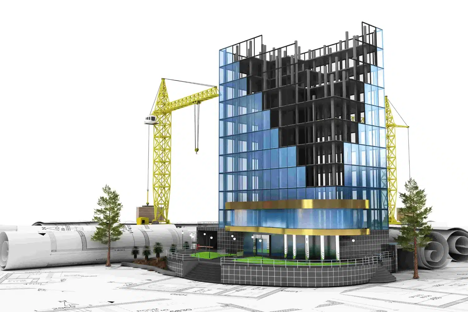
Scan to BIM transforms point cloud data into smart data-rich 3D BIM models, perfect for further use in cases of renovations, as-builts, facility upgrades and historic preservation. In Texas, it has become the go-to solution for eliminating guesswork, cutting costs and keeping projects running smoother.
With years of industry expertise and a sharp eye for precision, we create detailed LOD 300+ Revit models that tick all the boxes. Whether you’re an architect, contractor, or engineer in Texas, our BIM solutions are designed to speed up the BIM process without cutting corners.
From Houston to Austin, the fast-evolving AEC industry in Texas is undergoing a major digital transformation – adopting Scan to BIM services to bring in unmatched accuracy, speed and collaboration to their project. Here’s why Texas AEC teams are really making the switch:
Streamlined Renovation Project Workflow
Scan to BIM enhances and accelerates the overall design process with better collaboration amongst the stakeholders involved
It reduces the project’s reliance on any manual measurements, hence minimizing construction delays due to any human errors
Moreover, it supports more informed decision-making with the help of high-quality and data-rich BIM models
In renovation and retrofitting, accurate as-built BIM models are used for precise remodeling and to understand the existing structure well
Pinpoint Precision & Accuracy
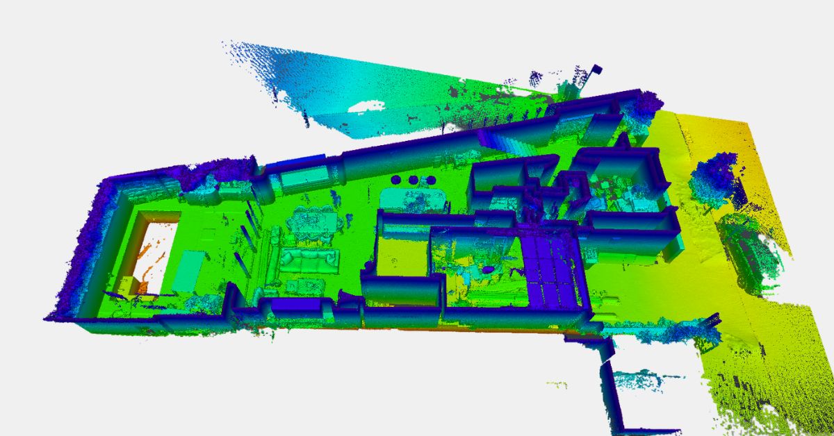
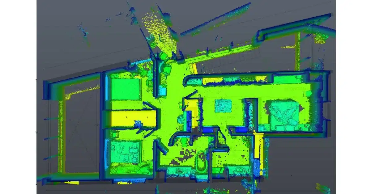
Scan to BIM begins with using laser scanning methods, which provide much more precise data as compared to traditional manual methods
These scanned point cloud data are then converted into accurate BIM models, improving the overall project’s virtual design and construction workflows
Through highly accurate and detailed virtual BIM modeling, it reduces the possibilities of any errors or reworking
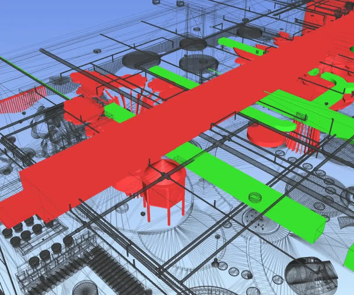
It also helps in early clash detection and coordinates multiple systems such as architecture, MEP, structures and much more to prevent costly onsite clashes
Strong ROI with Cost Efficiency
An efficient, well-coordinated and informed workflow lowers any unexpected costs and minimizes construction reworking
In facility management, Point Cloud to 3D model provides models of various existing systems and components to manage assets and their maintenance
Outsourcing Scan to BIM services in Texas to professionals saves on recruitment, resources, infrastructure and operational costs
The final delivered model of the Scan to BIM process is highly flexible for any stakeholder’s use during any phase of the project
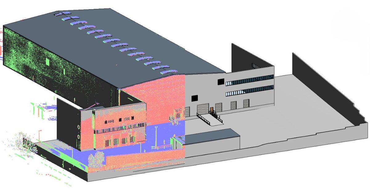
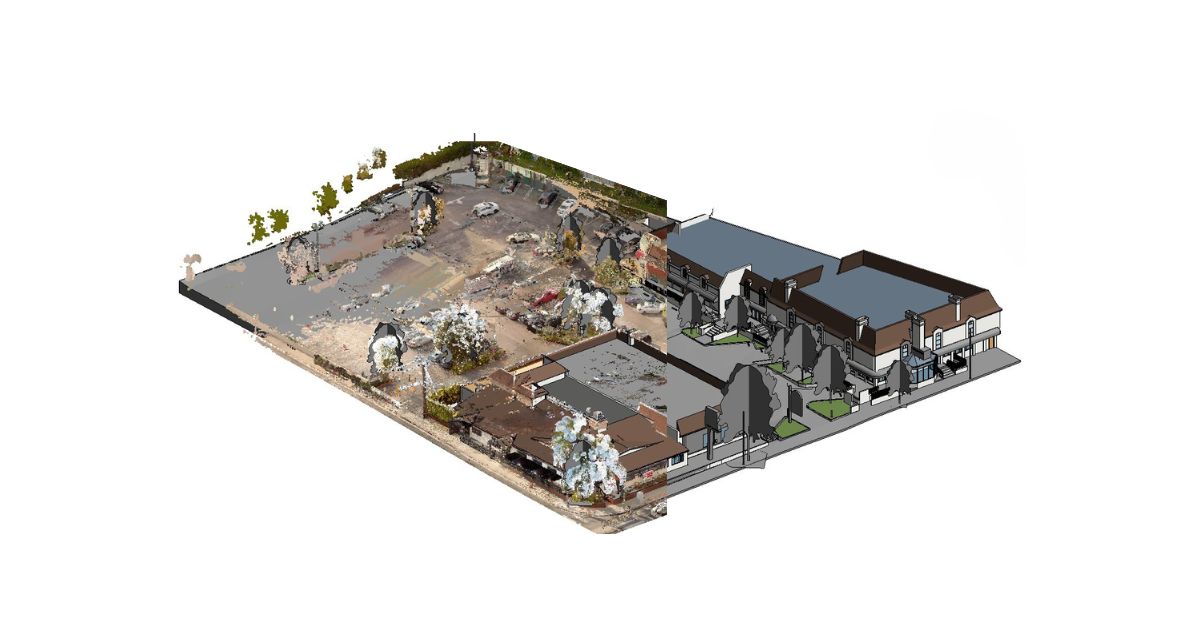
Our Scan to BIM Project Portfolio
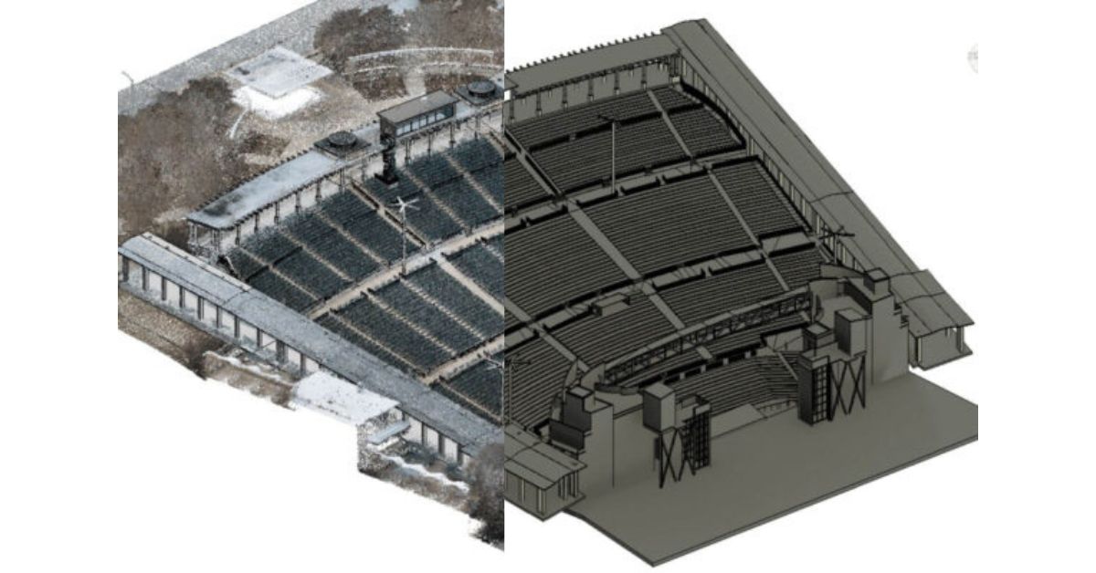
We’ve successfully delivered Scan to BIM projects across the US, including the state of Texas. From residential, commercial and renovations to heritage restoration, as-builts and large-scale MEP coordination – explore our rich portfolio to see our capabilities in action.
Why Choose Cresire as Your Scan to BIM Outsourcing Partner?
At Cresire, we aim to provide measurable value through precision, speed and collaboration despite the distance. So, what makes Cresire a go-to BIM partner for firms across Texas?
We’re not just another BIM outsourcing company. We work closely with architects and surveyors across the United States and consistently deliver Scan to BIM services that meet strict accuracy, format and turnaround expectations.
Our Revit BIM models are delivered as per your project’s exact Level of Detail (LOD), ranging from schematic design with LOD 200 to detailed as-built models of LOD 300+, ensuring you get BIM models that are not only accurate but actually usable.
Need it fast? At Cresire, we’ve got you! For buildings ranging from 3,500 to 5,500 square feet, single or multi-storey, we can deliver detailed BIM models within just 7 days. We help you meet quick deadlines without compromising on quality.
Even with thousands of miles between us, our offshore Scan to BIM service ensures U.S.-friendly working hours for you with dedicated project managers for real-time updates and coordination. With us, you can expect quick responses, regular check-ins and transparency throughout.
We don’t just work to transform point clouds, we understand them. Our team knows how to interpret noisy, incomplete, or complex scan data to deliver usable, clean BIM models.
We offer transparent and competitive pricing with upfront deliverables and scope clarity. We ensure you never get surprise add-ons or revisions, helping you stay within budget throughout the project lifecycle.
Just like how no two buildings are the same in Texas, our deliverables aren’t one-size-fits-all either. At Cresire, we tailor every Scan to BIM output to your project’s location, scale, complexity and LOD needs, ensuring seamless integration into your Revit workflows.
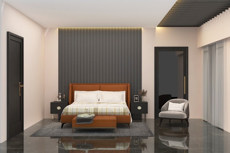
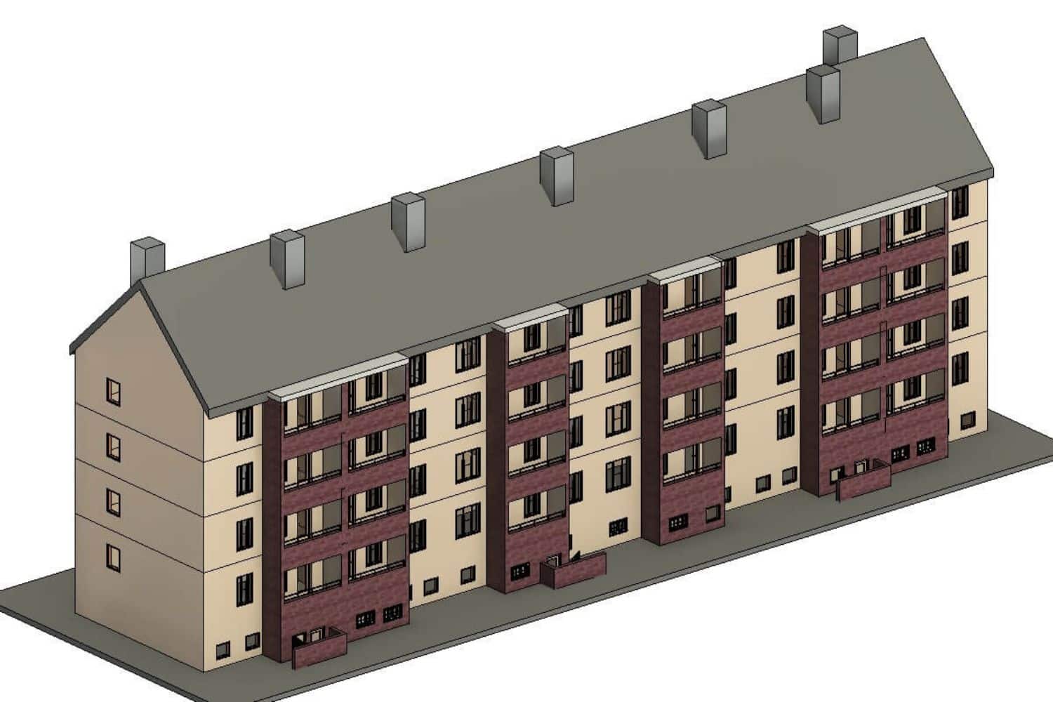
Architectural Scan to BIM Services
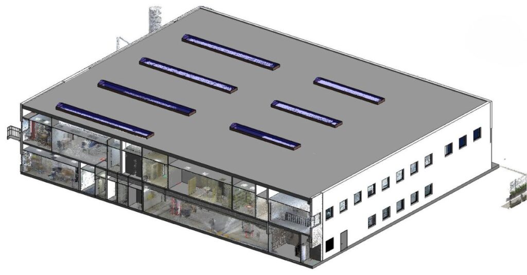
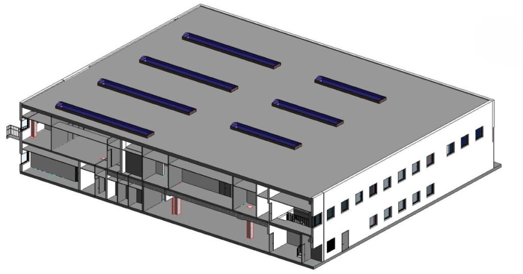
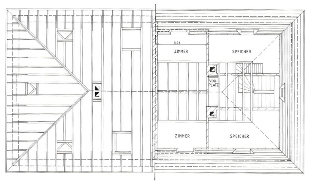
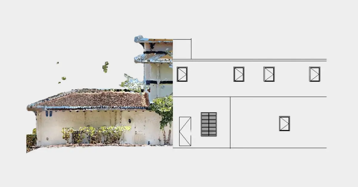
We develop detailed architectural Revit models from point cloud data, accurately capturing both interior and exterior elements in detail with accuracy and precision. These models are aligned with the required LOD with every element, space and character of the building modeled with clarity - creating a true digital twin of the building.
Structural Point Cloud to BIM Services
It contains the skeleton of a building - the structural framework. We focus on capturing this core framework accurately. From columns, beams to slabs, we convert each element into a detailed Revit BIM model, which becomes integral for assessing a building's existing condition and identifying any potential design or structural risks.
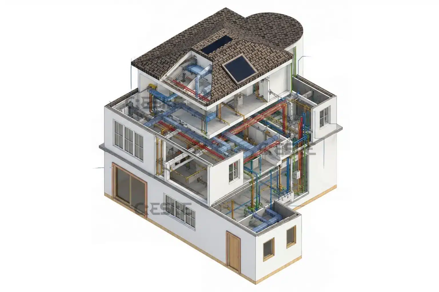
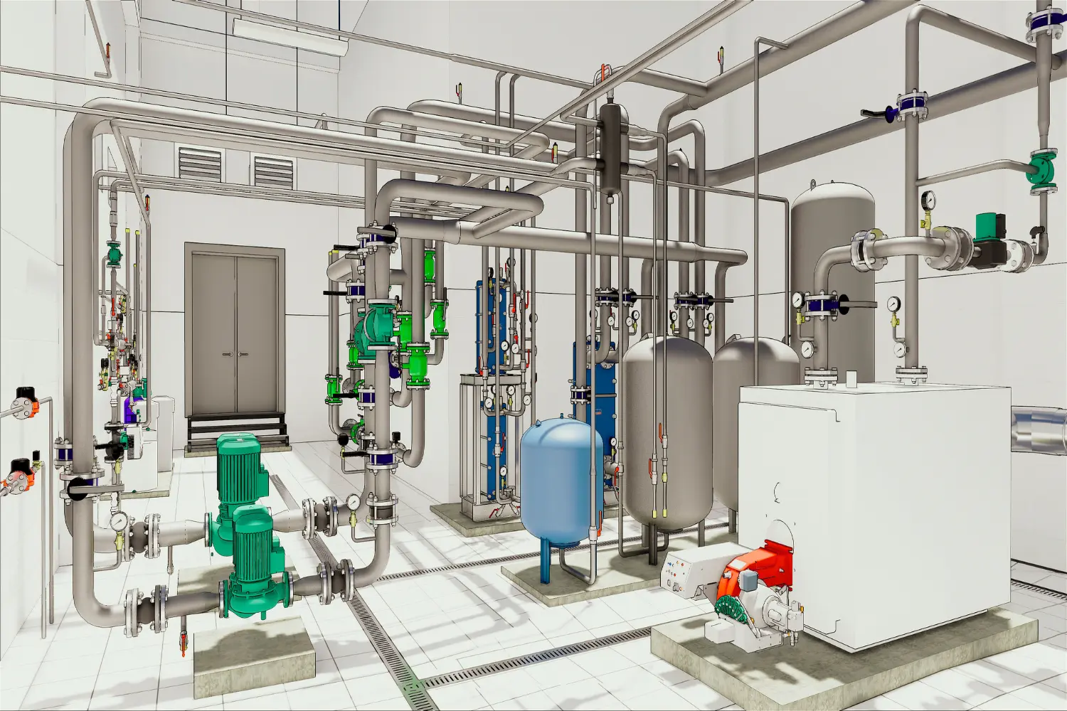
MEP Point Cloud Modeling in Revit
We deliver detailed modeling of critical MEP systems, including HVAC ducts, pipework, cable trays, fire fighting and lighting components - with high precision. Clean point cloud data helps us define dimensions, materials, LOD and routes to ensure accurate coordination.
Topography 3D Laser Scan to BIM
For projects that involve site modeling, we convert 3D laser-scanned site data into terrain and infrastructure models. These geo-referenced topographical BIM models accurately represent existing terrain, ground surfaces, buildings, retaining walls and other site elements - useful for landscape and civil engineering design and larger project workflows.
Software We Used
Industry/Sectors
Architecture
Engineering
Construction
Real State
Manufacturing
Residential
Commercial
Healthcare
Hospitality
Entertainment
Need to know the 3D Scan to BIM Cost for your project?
For more information about the 3D Scan to BIM Cost or to receive a detailed quotation for a 3D Point Cloud to BIM Modeling project, please contact us at enquiry@cresireconsulting.com.
To learn more about the requirements for your project, a member of our team will contact you. You can also contact us and chat with a member of our team directly based on your area if you’re based in Texas or anywhere in USA
The overall cost would depend on project-specific factors like area (sq ft), LOD requirement, point cloud quality and model complexity. Contact us for a detailed quote with competitive pricing.
While not mandated statewide, BIM is increasingly adopted for public infrastructure, renovation and various other construction projects due to its accuracy and collaboration benefits. It is required to stay up-to-date with the industry.
An as-built model is a true digital 3D representation of a structure based on actual site conditions captured via laser scanning. It’s used for accurate documentation, design planning and construction.