Table of Contents
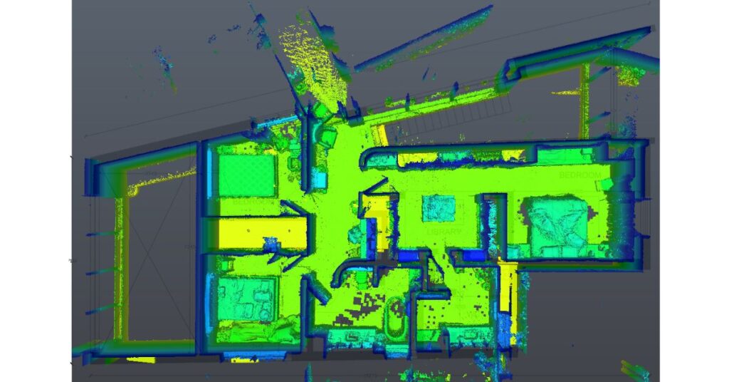
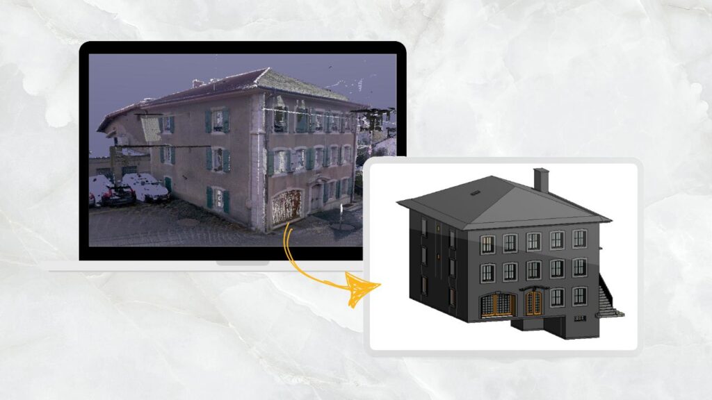
If you have ever been a part of a construction renovation or historical preservation project, you will understand the progressive advantages of Point Cloud to CAD Conversion. A 3D laser scan captures millions of data points to showcase the existing condition of a building or site. However, integrating the laser scans are not directly converted to 3d models or cad drawings. For point cloud data to be usable or editable, it must be manually modeled or drafted into 3D Revit models or 2D CAD drawings. That’s where point cloud data formats become relevant.
But which formats actually work best for point cloud to CAD workflows? And why does choosing the right point cloud format matter so much?
Why File Formats Matter in the First Place
Envision point cloud data as a vast collection of disorganized volumes. All of the information is there, but it is nearly impossible to use efficiently without adequate cataloging and organization. The “language” that CAD software uses to comprehend raw scans, organize geometry, and incorporate them into a design-ready environment is file formats. Selecting the incorrect file format puts you at risk for:
- Accuracy is lost during conversion.
- Workflows are being slowed down by large or incompatible files.
- Spending hours troubleshooting rather than creating
In summary, formats have a direct impact on the efficiency of your project and are more than just technical jargon.
What are the Common Point Cloud Formats?

1. E57
E57 is one of the most common point cloud formats. It is widely supported, compact, and designed for interoperability. E57 data format keeps the workflow simple especially when you need to migrate data between different platforms. For instance,, from a Leica scanner into Autodesk ReCap E57 carries not only XYZ coordinates but also color, intensity, and metadata.
2. RCP/RCS
When using Autodesk software such as AutoCAD, Revit, or Civil 3D, you will frequently encounter RCP (project files) and RCS (scan files). These formats are specifically designed for Autodesk’s ecosystem, making them nearly an obvious choice for companies already utilizing those platforms.
However, there’s a drawback: although RCP/RCS functions exceptionally well within Autodesk, it lacks the same universality beyond it. If your collaborators utilize software other than Autodesk, you might have to convert it initially.
3. LAS/LAZ
Widely used in surveying and geospatial fields, LAS files (along with their compressed version LAZ) excel at handling extensive terrain datasets. They are particularly useful for civil engineers and landscape architects requiring both precision and effectiveness.
Interesting point: LAZ can compress large datasets without losing accuracy, making them perfect when storage or transfer speed is an issue.
4. PTS/XYZ
Old but reliable, PTS and XYZ formats store point clouds in simple text-based formats. They’re less efficient for really large datasets, but they have one advantage: universal readability. Pretty much any software can interpret a text-based point cloud file, even if it’s not optimized.
This makes them a solid “last resort” option when compatibility is the top priority.
5. PLY
This format is primarily developed for 3D scanning and graphics, PLY is commonly used in research and visualization. It is not usually the first choice for CAD-heavy workflows, but it is helpful if you need color-rich point clouds for rendering or visual presentation.
Bridging Point Clouds with CAD Workflows
Okay, so you’ve got a sense of the main players. But how do these formats actually connect to CAD workflows? That’s where things get interesting.
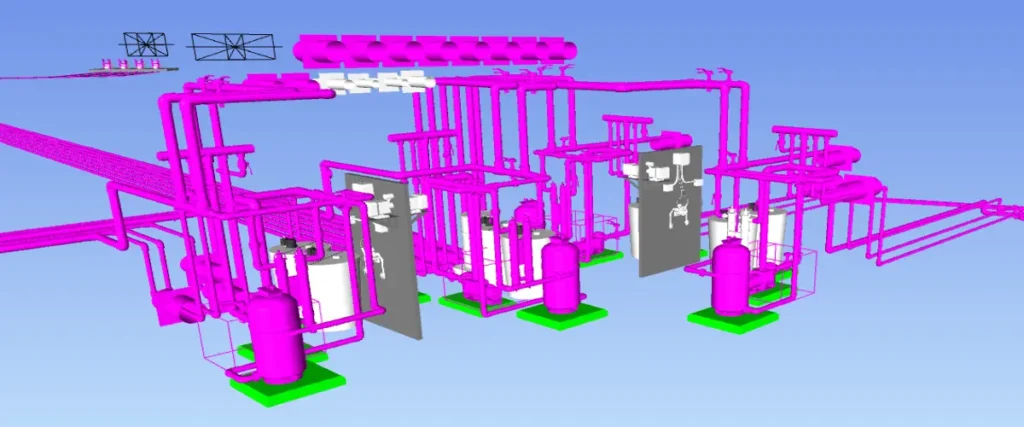
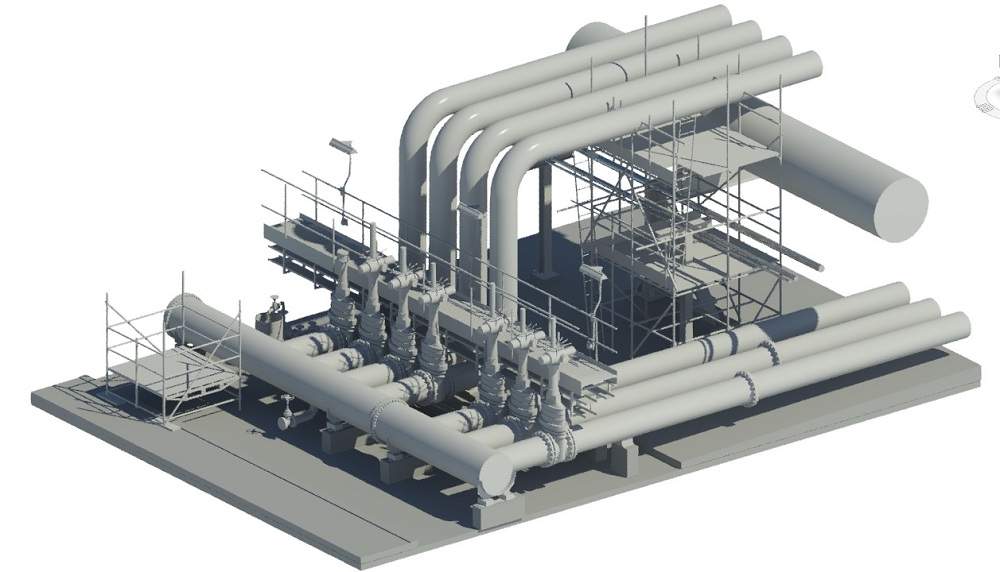
When engineers or architects take raw point cloud data and convert it into editable CAD formats, they are not just looking to view dots. They are seeking for design elements such as walls, sections, and geometry that can be precisely measured and used in the renovation design process. Some of the common software such as AutoDesk AutoCAD, and MicroStation allow importing of these file formats while recognizing spatial relationships. This allows BIM modelers and CAD technicians to convert point cloud data into design drawings and BIM models. Here’s the flow in simple terms:
- Acquire: A drone or laser scanner generates unprocessed data.
- Export: Point cloud data is stored in different formats such as E57, RCP, LAS, etc.
- Import into CAD: The unified point cloud file is loaded into CAD software like AutoDesk Revit or AutoCAD. In which, the CAD drafters develop the designs or BIM models
- Point cloud to CAD conversion: The CAD technicians or BIM modelers develop editable drawings. This includes floor plans, elevations, and sections.
- Acquire: A drone or laser scanner generates unprocessed data.
Choosing the Right Format: It Depends on Your End Goal
So, which file format should you actually use? Well, the honest answer is: it depends.
- If you’re deep into Autodesk workflows: Stick with RCP/RCS for best performance.
- If you’re sharing across multiple platforms: E57 is the safest bet.
- If your focus is on surveying or topography: LAS/LAZ will serve you well.
- If you’re facing compatibility issues: PTS or XYZ can act as a bridge.
The trick is aligning the format not just with your software but with the project’s end goal. Are you building a detailed BIM model? A simple 2D floor plan? Or a topographic survey? Each case might demand a different choice.
Looking Forward: Interoperability is the Future
Let’s suppose a renovation team obtains raw scans in LAS format, yet their entire workflow relies on AutoCAD and Revit. Without RCP conversion, the team faces challenges in processing the files, resulting in delays and inconsistencies. A straightforward choice, selecting RCP instead of LAS initially might have avoided weeks of redo. That’s why it’s not only about understanding the formats, but also about preparing in advance. Understanding file types from the outset can significantly impact project timelines.
The AEC sector is gradually shifting toward more standardized processes where file formats won’t be as problematic. The heavy point cloud data in nearly any format is becoming easier to manage because of the advanced cloud software and tools. However, it is important to understand the advantages and disadvantages of each type of Point Cloud Data so the project stakeholders achieve their desired results from point cloud to cad workflows.

Devashish is Founder/Director at Cresire where he leads BIM services. He holds a bachelor’s degree in Civil Engineering from the University of Sheffield and an MSc in Construction Project Management from The University of the West of England. His vision behind CRESIRE is to provide BIM services, adhering to best practices and procedures, to global customers, helping customers to save extensive production costs and overruns.
