Scan to 2D Drawings for a 15,000 Sq. Ft. Residential Project in the USA

Project Scope

Scan to 2D Architectural Drawings

Project Type

Residential

Project Area

15,000 sq. ft

Inputs

XYZ Point Cloud

Timeline

8 days

Location

USA

Deliverables

Complete Architectural Drawing Set

  • Floor plans
  • Sectional drawings
  • Elevational drawings

About Projects

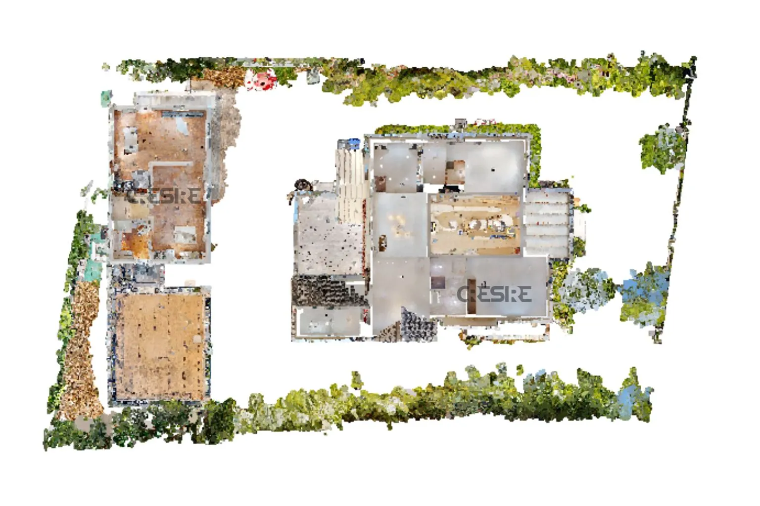
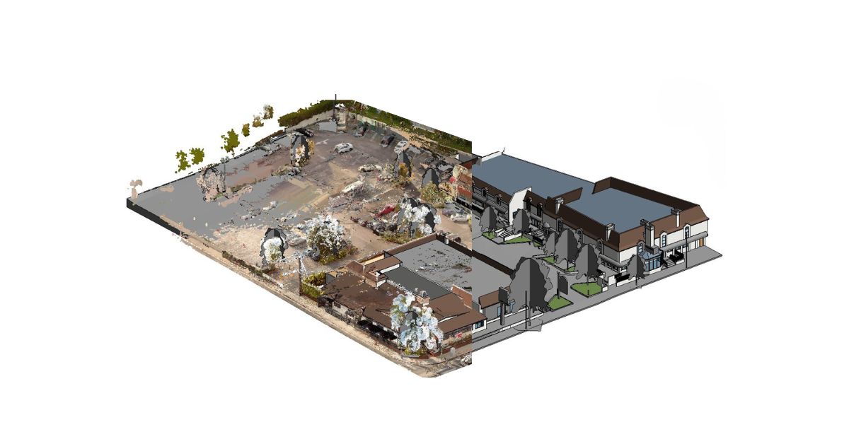
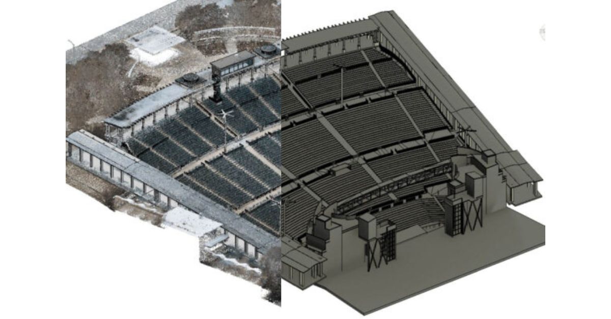
CRESIRE was engaged to develop a complete set of 2D architectural drawings from laser scan data for a residential project in the USA. Covering approximately 15,000 sq. ft., the project required accurate documentation of the existing building conditions.

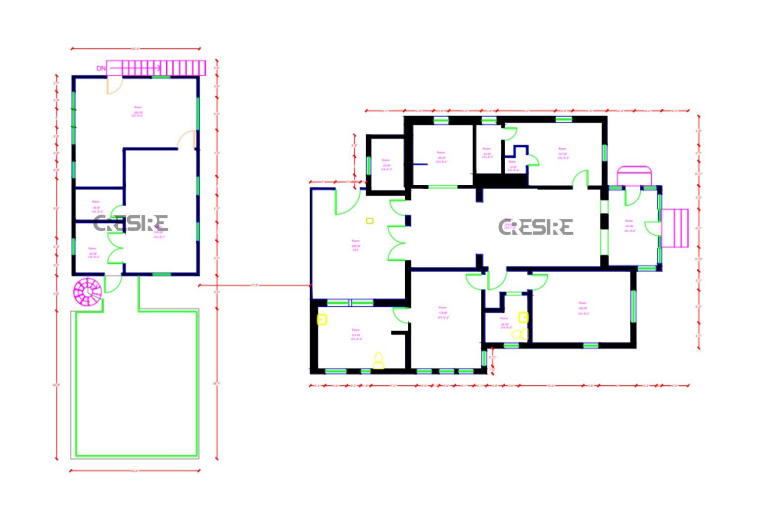
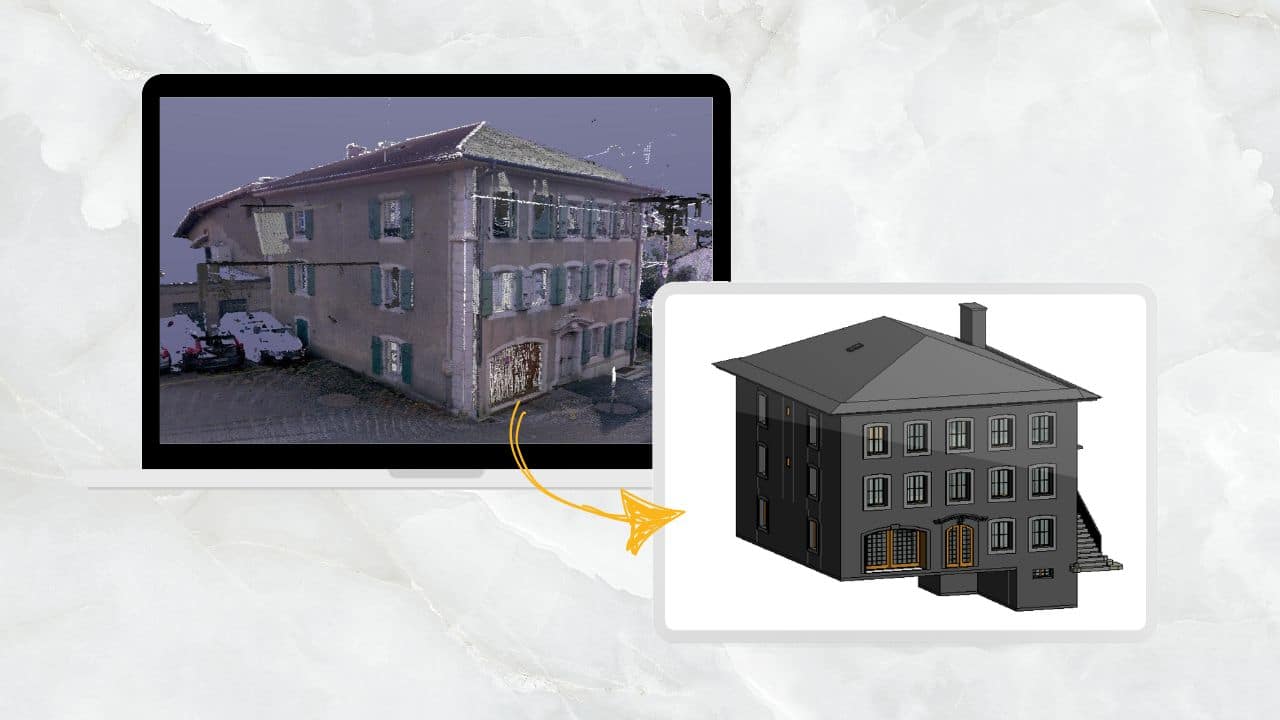
The scan data was used as the primary reference for developing detailed architectural drawings, including floor plans, sectional drawings and elevations. The resulting drawing set provided the client with a structured 2D representation of the existing property for further design and project planning.

Software We Used

autodesk-recap-pro-uk

Challenges

The client had laser scan data capturing the existing residential property but required a practical set of 2D architectural drawings that could be used for design and documentation.

Unlike conventional drafting from existing CAD files, scan-based documentation requires the team to interpret the captured geometry and translate it into clear architectural linework.

The challenge was to develop drawings that accurately represented the available existing conditions while maintaining consistency between plans, sections and elevations.

Solutions

CRESIRE reviewed the available laser scan data to understand the building geometry, levels, openings and other visible architectural elements. The captured information was then used as the reference for developing the required architectural drawings.

The building was documented through a coordinated set of floor plans, sections and elevations. The drawings were developed to maintain consistency across the different views, allowing the client to understand the existing building from both horizontal and vertical perspectives.

The completed drawings were reviewed against the available scan information to identify discrepancies and maintain consistency between the drawing set.

Results

CRESIRE delivered a complete set of 2D architectural drawings for the 15,000 sq. ft. residential property, developed from the available laser scan data. The drawing set provided the client with:

  • Accurate floor plan documentation
  • Building sections based on captured conditions
  • Exterior elevations
  • Consistent architectural representation across drawings
  • A usable 2D reference for further design and planning
The project demonstrated how laser scanning can be transformed into practical architectural documentation, particularly for existing buildings where reliable conventional drawings may not be available.

24-HOUR QUOTE RESPONSE

Start Your Projects Today

enquiry@cresireconsulting.com

NDA available

Scroll to Top